Pole & structure measurements
Pole photos, structure measurements, and field observations to support OSP design and make-ready planning.
AERIAL INFRASTRUCTUREOn-the-ground measurements and utility documentation for the teams building tomorrow’s telecom networks.
Request a quote3+ yearsOSP field experience
Colorado & beyondServing surrounding states
Project-ready documentationPhotos · measurements · field notes
Our services, equipment, experience, and field deliverables in one document.
Field support for aerial and underground telecom projects, scoped to your documentation requirements.
Pole photos, structure measurements, and field observations to support OSP design and make-ready planning.
AERIAL INFRASTRUCTURERoute conditions, GPS coordinates, road crossings, and edge-of-pavement and right-of-way observations.
ROUTE DOCUMENTATIONPhotos, measurements, and field notes for accessible underground utility structures, according to project scope.
UNDERGROUND INFRASTRUCTUREField documentation of installed conditions to help your team review construction progress and resolve discrepancies.
FIELD VERIFICATIONA short look at the fieldwork and route documentation that support your next OSP project.
A closer look at the field documentation behind an OSP route survey.
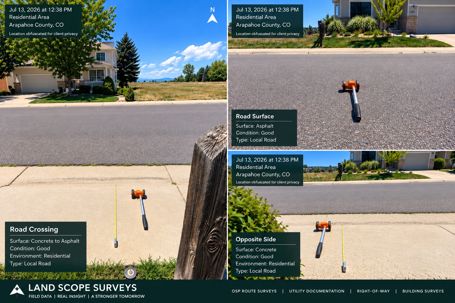
Crossing overview, road surface, and opposite-side conditions presented together. Location details obscured for client privacy.
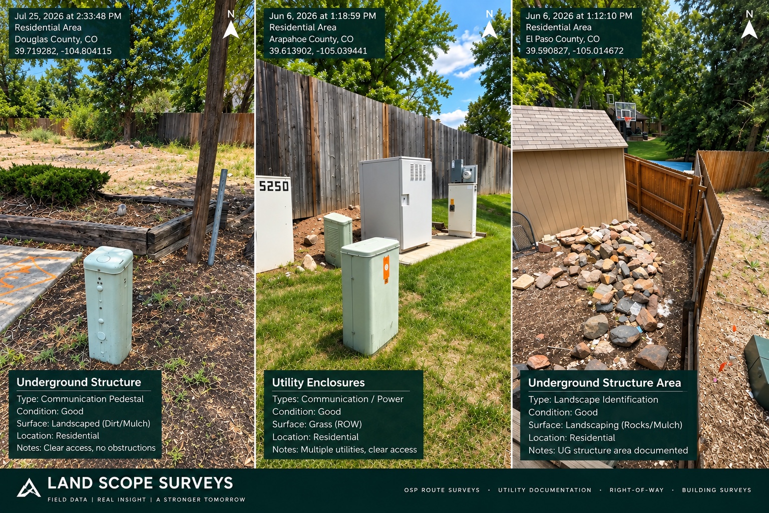
Communication pedestals, utility enclosures, and surrounding landscape conditions documented to give design teams context for underground routes.
Pole locations, attachments, identification tags, and measurement references documented for your design team.
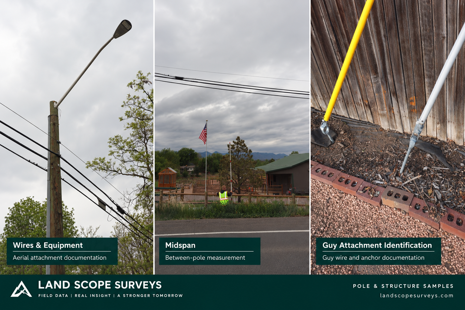
Wires and equipment, between-pole measurements, and guy wire and anchor documentation.
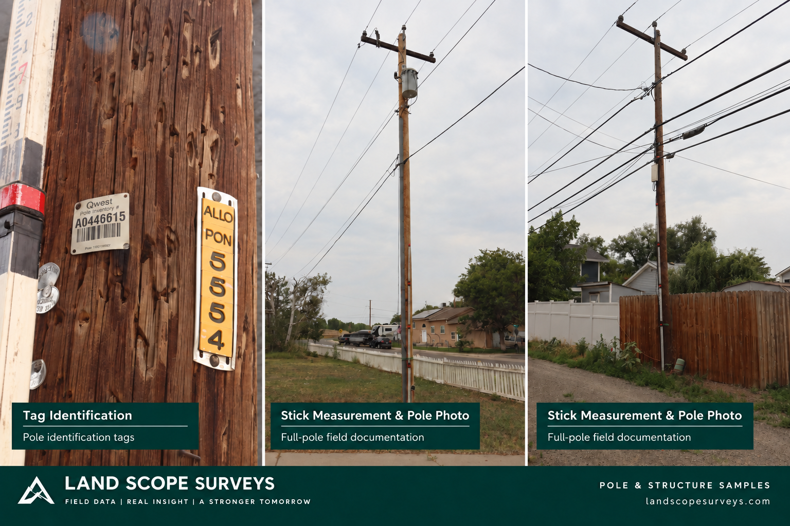
Identification tags and full-pole photos with a measurement stick for reference.
We align on scope before heading into the field, so the information we collect supports the way your team works.
Katapult Pro · Bluebeam Revu · Google Earth Pro
High-resolution camera · Pole measurement stick
Measuring wheel · Rugged field tablet
Share your project area, required measurements, photo standards, deliverable format, and schedule.
We collect the agreed photos, measurements, coordinates, and observations at the project site.
Receive organized field documentation, with clarification and QC corrections handled against the agreed scope.
Tell us where the project is, what you need collected, and your target timeline. Let’s work out the scope.
Email your project detailsColorado & surrounding states
Have a project farther afield? Ask about travel availability.